My New Favorite Place in Town
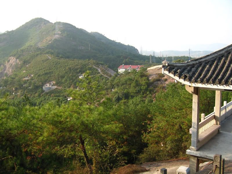 My new favorite place in (or maybe just very near) Fenghua is a park on the western edge of town, the entrance of which is about a mile from my door. At night you can easily see a radio tower stung with lights that stands at the top of a steep hill, it kinda reminds me of the Eiffel Tower. The steep base of the hill is precisely where the city stops and the fauna starts. The terrain here is very flat, like the
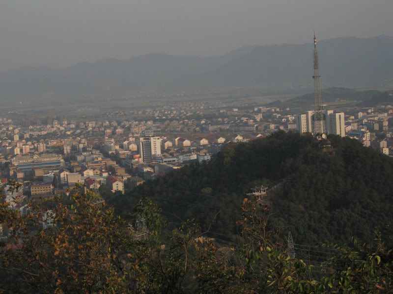
The first photos is from the park looking up the ridge, the second is a photo from part of the way up the hill on the far side of the park looking down on the park and the city. While I’m aware that this isn’t the most beautiful spot around I was thrilled to find a place so close to town, where I can so quickly be away from everyone, get some fresh air and a real challenge.
The trail up the ridge was probably first made by porters carrying the components for power line towers up the ridge. The second time I ran in the park was early in the morning and I found out why the trail looked so worn, when, during my previous trip in the afternoon I hadn’t seen anyone else there. From before dawn until after
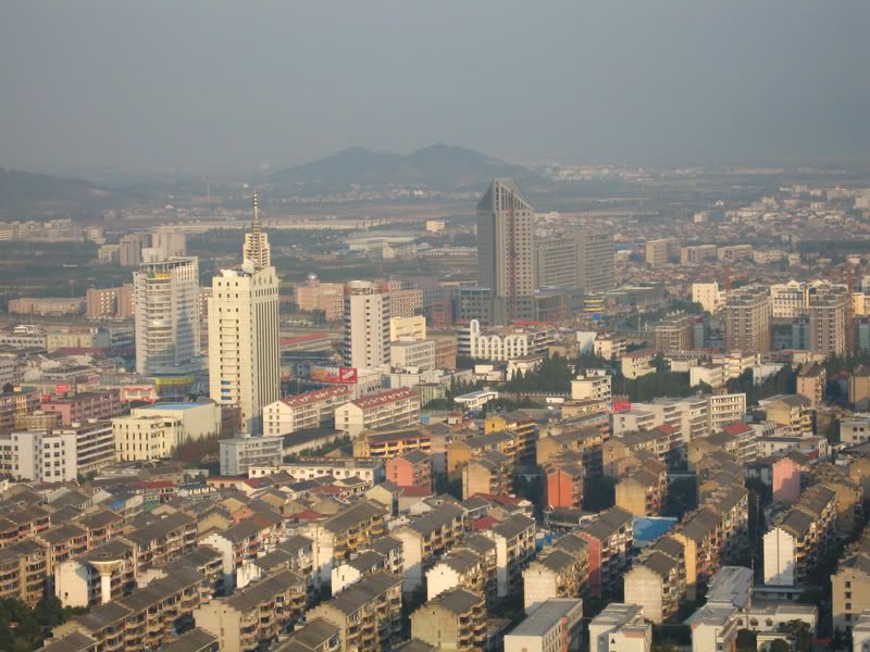
 From the ridge you can get a great panorama of town, I’ve discovered a running track, and some roads I previously didn’t know existed.
I marked North, South, my apartment and the top of my company about 10km away behind some small hills, but I think photobucket downsampled the image too much to clearly see the marks. It still might give you an idea of what Fenghua looks like. My apartment is in the white building close to the center of the photo in front of the very tall, dark building. The end of my apartments, I noticed from here, look like big upside down U's.
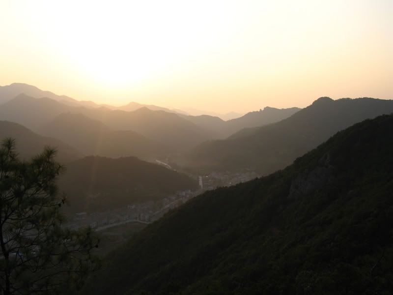
This is the sunset from one of the points on the ridge. The trail is very rocky and steep, but has been cleared enough to offer a great view during the entire traverse. If you look closely, though maybe the down sampling from photobucket obscures it, you may see two spires on the horizon in the right center of the photo. I saw these on my attempt to ride to Xikou, but from the other side and have been trying to figure out how to get there ever since. I was very interested to notice this from the other side. It’s tough to keep your bearings of these features when w/o a map. It is quite distinct, and I’m really looking forward to climbing there.
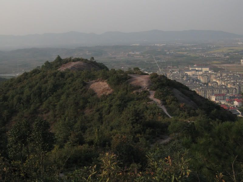 This bare rock section of the ridge requires quite a steep hike to reach abut there were still four others at different points, chatting, stretching and meditating alone on my first morning run along it. I use run loosely here. When I first moved to
This morning while running to the park I took a road up that I don't usually use, I think it's a service road, but let's me get into the park faster. All the lights in the park, including the tower, were off, it was still quite dark, but the usual older crowd was already there and grounds keepers were out. A set of double doors in a concrete wall I had never noticed next to the road were open. Because of the stark contrast between the early morning darkness the light from a square tunnel was quite noticable. The tunnel about 5' tall and wide had been cut into the rock straight into the base of the hill. It slowly curved out of sight about 80' away. I would have gone and looked around, but a man was sleeping on a cot just inside the door and my coworker, who I met for the hike up the hill wasn't interested in going in. I'll have to take a picture next time. Now that I've found cool places to run and bike, stopping to take pictures of all the cool sights seems to be my biggest slowdown. I asked her what it was used for and she said it was for safety from fires, but I suspect it was a bomb shelter, maybe that was just lost in translation.

0 Comments:
Post a Comment
<< Home